Georgetown to Creedmore, TX
|
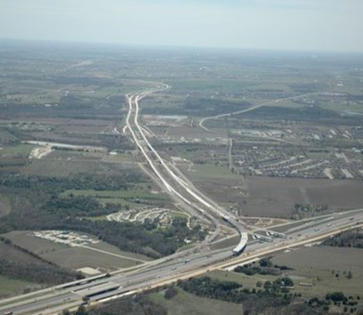
State Highway 130 Toll Road Georgetown to Creedmore, TX |
| Macias & Associates was contracted to provide the office staff and field operations to perform the global positioning system horizontal and vertical control on a 50 miles stretch of new highway, to perform topographic surveys of areas that were not included in the original aerial photogrammetry, to prepare 250 sheets of right of way maps, to prepare 640 parcels plats and accompanying legal descriptions, to conduct the surveys for an additional 16 parcels on a 260 acre mitigation site as directed by the US Corp of Engineers. Our responsibilities included the writing of the surveying quality control and the quality assurance program for the entire project. The QC/QA manual was then used for the preparation of the QC/QA program for the environmental, right of way agencies and the utility coordination for the project. Macias set over 2000 Type II concrete monuments along the highway to mark the new right of way, set over 2000 iron rods with TxDOT aluminum caps marking the boundary of the new Right-of-Way takes. Macias & Associates staked the horizontal and vertical control used for the construction of the project and also was quality control for other surveyors on the project. |