Owner: Travis County
|
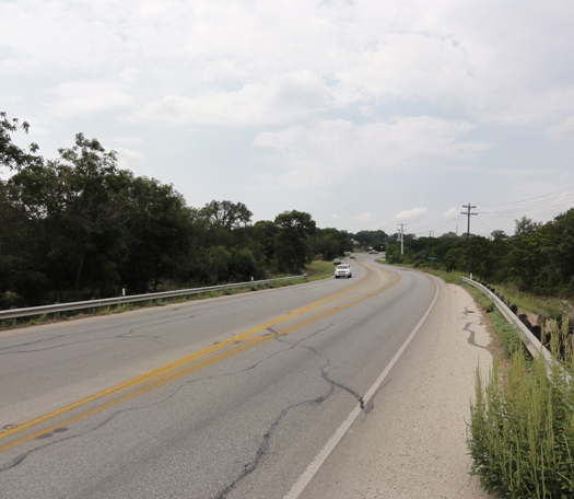
FM 1626 Road Improvements Project Owner: Travis County |
| Macias & Associates is preparing a route survey showing the approximate location of the right of way lines, existing improvements and utilities on the surface and the record underground utilities of the subject areas. The project is approximately 1.11 miles long. Macias has obtained and reviewed pertinent ownership, right of way and utility information from the Travis County Tax Office and utility owners. We field located right of way evidence, fences, sidewalks, driveways, water, water meters, wastewater, storm, electric telephone/utility poles, gas and other underground and surface utilities. Also, field located traffic signs, light poles, power poles, guide wires, electric manholes, telephone manholes, electric or telephone pull boxes, traffic pull boxes, traffic control loops, warning signs for underground utilities and other surface features within the right of way not listed on record drawings. Macias utilized Aerial Photogrammetry, for Horizontal & Vertical Control using panel points, and prepared a ROW strip map. Macias also prepared drainage, staging and slope easements. |